


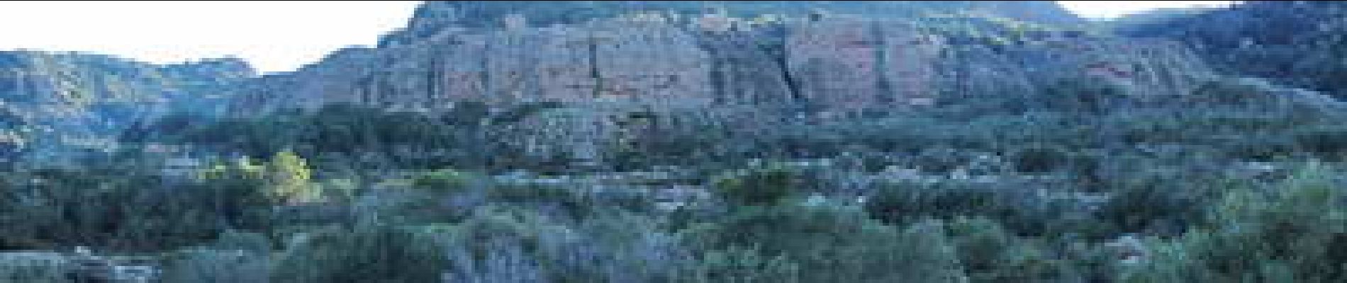
Rocher de Roquebrune-Haute Rouquaire

Sugg
User


3h00
Difficulty : Medium

FREE GPS app for hiking
 SityTrail
IGN / Geographical institutes
SityTrail Plus
The world is yours!
About
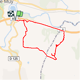
Trail Walking of 9.1 km to be discovered at Provence-Alpes-Côte d'Azur, Var, Le Muy. This trail is proposed by Sugg.
Description
Parking à droite sur ancienne route de St Maxime, puis GR51 et draille du facteur, grotte de l''Ermite ( toujours là ) et redescente ( apparemment à coté du sentier ??? )sur la petite route qui longe l''autoroute.( balade découverte )
Photos


Positioning
Comments
tres utile